Lagos commissions land archive as Sanwo-Olu inspects geospatial infrastructure
The Lagos State Government has strengthened its land administration and urban planning systems with the commissioning of the Lagos Land Archive by Governor Babajide Sanwo-Olu.
Sanwo-Olu commissioned the facility on Tuesday during a guided inspection of the state’s geospatial infrastructure to mark the maiden GIS Day 2026.
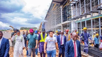
The Land Archive was designed as a central repository for the storage and preservation of hard-copy land documents, with construction of the facility beginning last year.
With its completion, Lagos now has what the government described as the largest land information storage facility in West Africa, combining physical and electronic data storage systems.




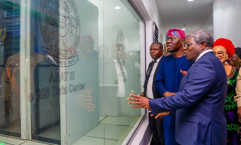
Sanwo-Olu toured the facility alongside members of the state cabinet and other stakeholders in the land management sector before visiting departments of the e-GIS Office, where newly developed systems and technologies were demonstrated.
The governor inspected the Lagos State Physical Planning and Automation Department, Survey Information Centre, GIS Centre and the Office of the Surveyor-General, with demonstrations focusing on the use of spatial information for land administration, planning, infrastructure monitoring and decision-making.
Sanwo-Olu said Lagos was a city of extraordinary scale and complexity that required reliable geospatial information to effectively plan infrastructure and respond to the needs of its residents. “This is the value of geospatial information,” he said.
Similarly, the Special Adviser to the Governor on e-GIS and Urban Development, Dr. Olajide Babatunde, said GIS Day provided an opportunity to celebrate the progress made in developing the state’s geospatial capabilities and recognise the institutions driving the innovation, adding that Lagos began building the capacity in 2016 and had since strengthened how spatial information was collected, organised and used across government.